-40%
1950's New England Homestead World, United States, New England Europe, Asia Maps
$ 6.3
- Description
- Size Guide
Description
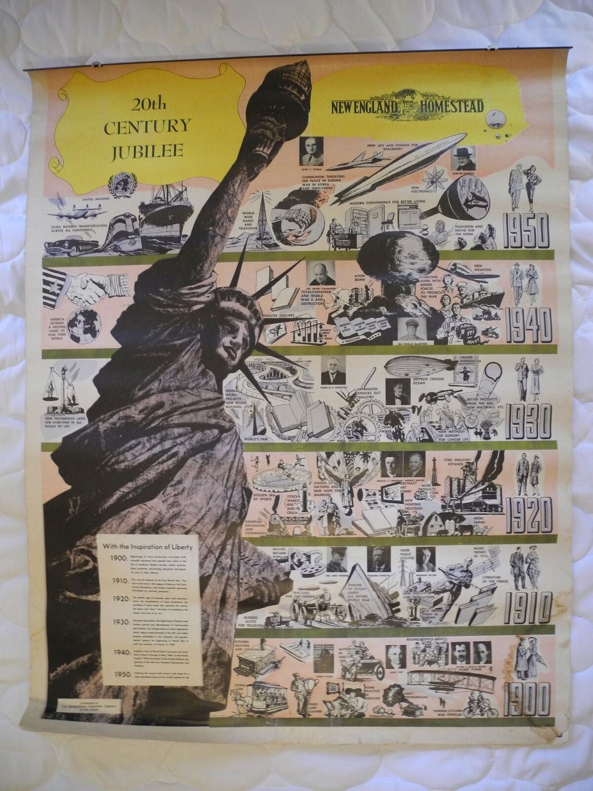
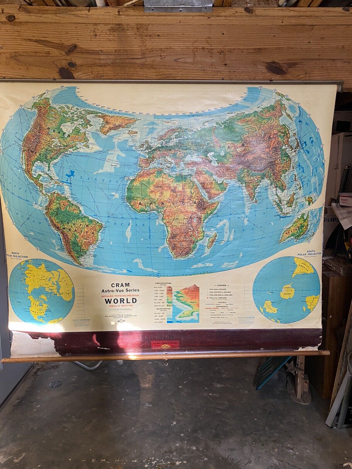
This listing is for a vintage early1950's New England Homestead school wall hanging with 3 sheets that include the World, United States, New England Europe, Asia Maps
. The following is included:
Sheet 1 front - New England Homestead 20th Century Jubilee title sheet. The sheet has repaired tears at the bottom
Sheet 1 rear - Map of the United States. The sheet has repaired tears on the right side and a stain on the bottom right.
Sheet 2 front - Maps of Middle Europe with Division of Allied Occupation of Germany. Sheet has tiny edge tears and stain spot at bottom right.
Sheet 2 rear - Sheet has maps of Korea, Formosa, China, Hawaii and Japan. Sheet has same tiny edge tears as front.
Sheet 3 front - Map of the World surrounded by Presidents of the United States
Sheet 3 rear - Map of New England with separate map of State of Maine
Each sheet measures 27.75W X 35.5H inches. Don't miss out on these collectible New England Homestead sheets of maps
Thanks for looking. International buyers welcome.
Please see my listings for other vintage collectibles.
I provide lower combined shipping. If you purchase more than one item from me, please wait for me to send you a corrected invoice.
Listing and template services provided by inkFrog


